Skjaldbreiður is an Icelandic lava shield formed in one huge and protracted eruption roughly 9,000 years ago. The extensive lava fields which were produced by this eruption, flowed southwards, and formed the basin of Þingvallavatn, Iceland's largest lake, and Þingvellir, the "Parliament Plains" where the Icelandic national assembly, the Alþing was founded in 930.
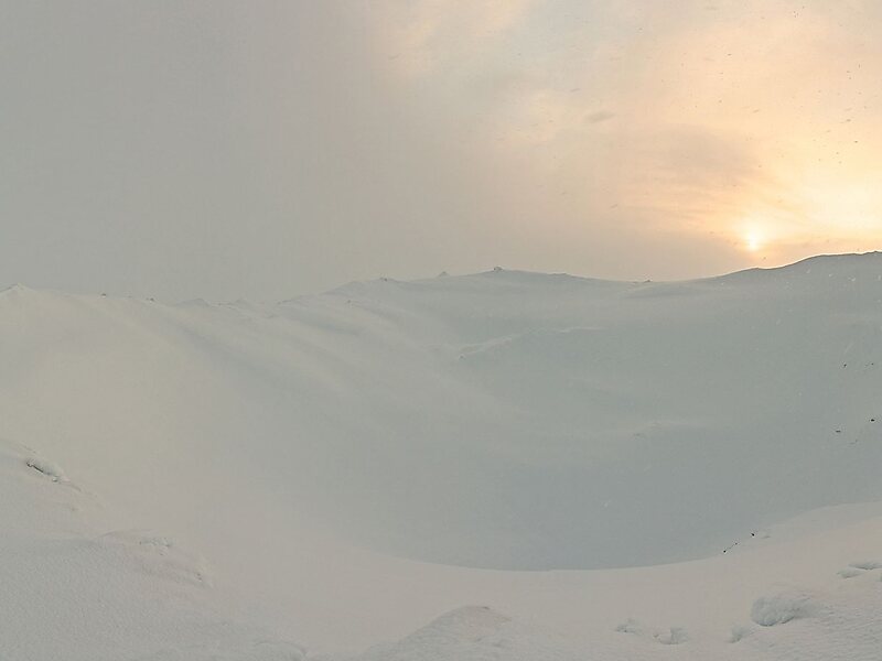
The volcano summit is at 1,060 metres, and its crater measures roughly 300 metres in diameter.
Wikipedia https://en.wikipedia.org/wiki/Skjaldbreiður
Address Iceland
Coordinates 64°24'33.27" N -20°45'6.546" E