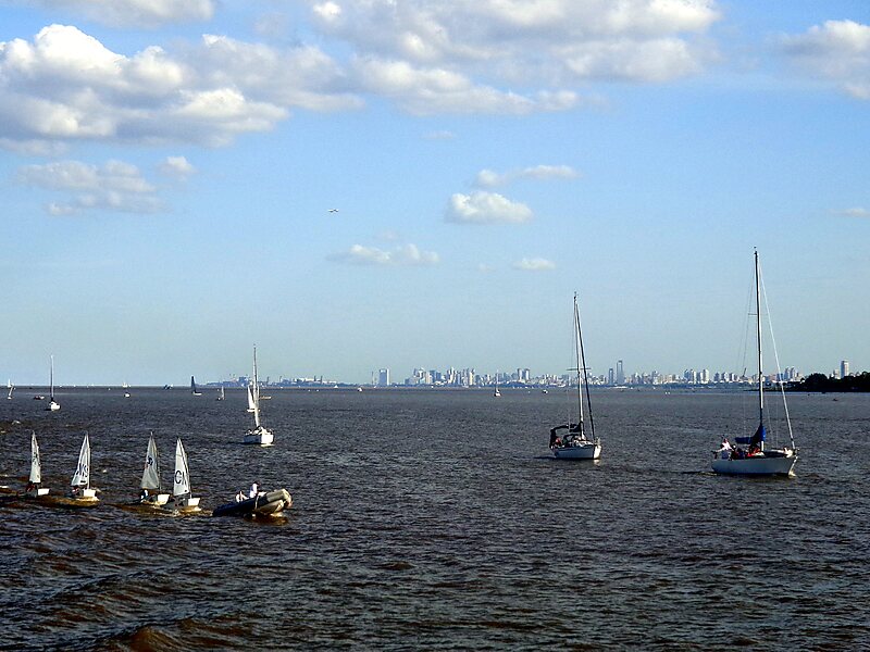
The Río de la Plata, called River Plate in British English and the Commonwealth and La Plata River in other English-speaking countries, is the estuary formed by the confluence of the Uruguay River and the Paraná River at Punta Gorda. It empties into the Atlantic Ocean and forms a funnel-shaped indentation on the southeastern coastline of South America. Depending on the geographer, the Río de la Plata may be considered a river, an estuary, a gulf, or a marginal sea. If considered a river, it is the widest in the world, with a maximum width of 220 kilometres.
Wikipedia https://en.wikipedia.org/wiki/Río_de_la_Plata
Address Argentina
Coordinates -35°11'33.676" N -56°45'51.151" E