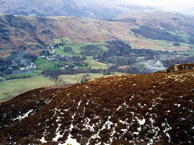
Lingmoor Fell is a fell in the English Lake District, situated eight kilometres west of Ambleside. The fell reaches a height of 469 m and divides the valleys of Great Langdale and Little Langdale. The fell's name originates from the Old Norse word lyng meaning “heather covered”. The actual summit of the fell is named as Brown How on Ordnance Survey maps.
Download Download See moreWikipedia https://en.wikipedia.org/wiki/Lingmoor_Fell
Address LA22 9, United Kingdom
Coordinates 54°25'55.433" N -3°4'35.125" E