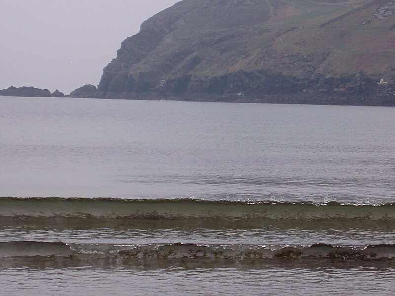
Bradda Head is a rugged headland in the south-west of the Isle of Man, in the British Isles, rising to a height of 382 feet. It shelters Port Erin Bay from the north.
There is a clifftop walk, the Coronation Footpath, up to the head and around the head via Milner's Tower. This was built in 1871 as a view tower in memory of William Milner of the then-famous Milner's Safe Co. Ltd., maker of fire-resistant safes and a local philanthropist. His tower is built in the shape of a key and lock. The Mourne Mountains of Northern Ireland can sometimes be seen from the summit.
Wikipedia https://en.wikipedia.org/wiki/Bradda_Head
Coordinates 54°5'40.08" N -4°46'19.467" E