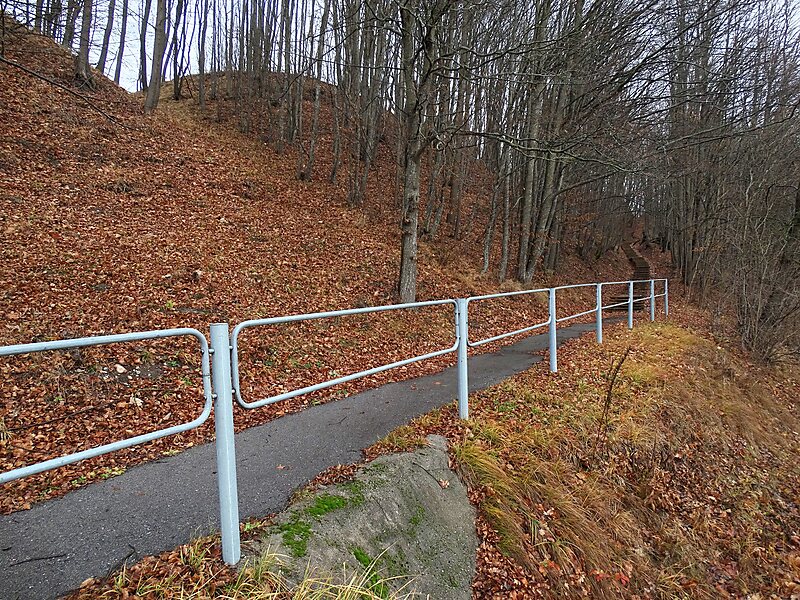
Bisenė or Bisena was a wooden fortress of the Grand Duchy of Lithuania during the Lithuanian Crusade. It was one of the Lithuanian defensive outposts along the Neman River and was burned down by the Teutonic Order in 1283 and 1316. Its location was long debated and often confused with Pieštvė, but after 1985 research of Romas Batūra it has been generally accepted to be Kartupėnai Hill Fort near the confluence of the Kartupis and Neman in Jurbarkas District Municipality, Lithuania. After the burning down of Kolainiai in 1291 and Bisenė in 1316, Junigeda became the westernmost Lithuanian fortress along the Neman.
Download Download See moreWikipedia https://en.wikipedia.org/wiki/Bisenė
Official Website http://piliakalniai.lt/piliakalnis.php?piliakalnis_id=115
Address Plento gatvė, 74060, Lithuania
Coordinates 55°6'7.982" N 23°0'22.087" E