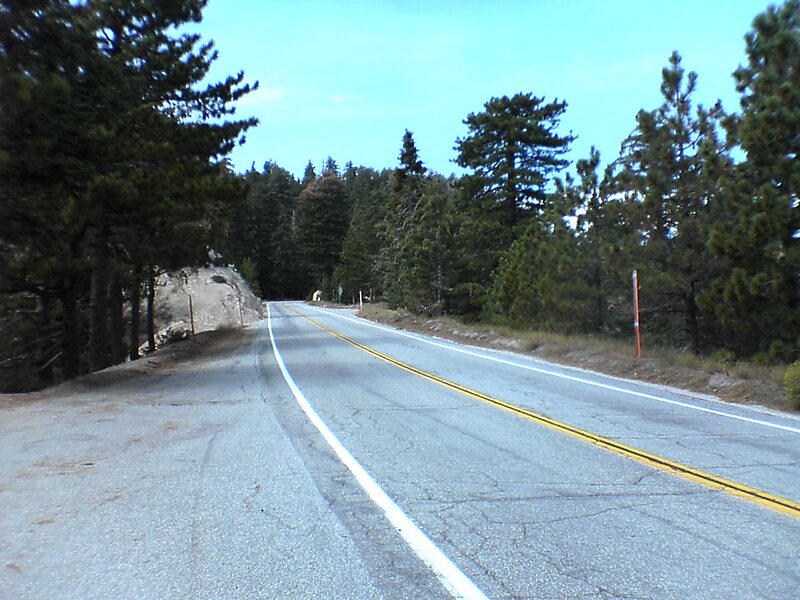
The Angeles Crest Highway is a two-lane highway over the San Gabriel Mountains, in Los Angeles County, California. Its route is to/through the San Gabriel Mountains National Monument and the Angeles National Forest. With the exception of a 1,000 feet-long section in La Cañada Flintridge, the entire route is part of California State Route 2.
The road is 66 miles in length, with its western terminus at the intersection at Foothill Boulevard in La Cañada Flintridge and its eastern terminus at the Pearblossom Highway northeast of Wrightwood. The majority of the route passes through the San Gabriel Mountains located north of the Greater Los Angeles Area. Segments of the road reach elevations above 7,000 feet, with a summit of 7,903 feet at the Dawson Saddle, which makes this road one of the highest in Southern California.
Wikipedia https://en.wikipedia.org/wiki/Angeles_Crest_Highway
Address 16261 Angeles Crest Hwy, 93563, United States
Coordinates 34°20'57.998" N -117°57'47.002" E