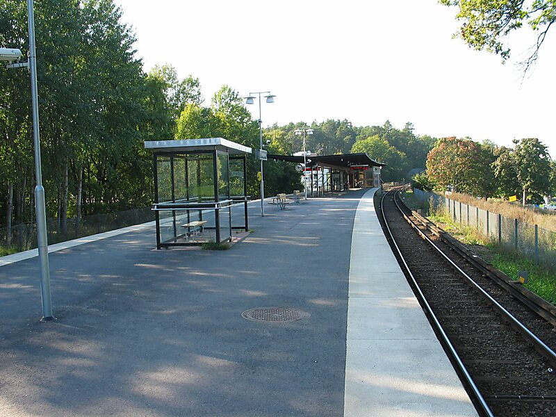
Ängbyplan metro station is a station on the green line of the Stockholm metro, located in Södra Ängby, Västerort. The station was inaugurated on 26 October 1952 as a part of the stretch between Hötorget and Vällingby. It was called Färjestadsvägen until 1961. The distance to Slussen is 12.4 km.
The metro station was decorated with tile in 1994 by Åsa Lindström.
Wikipedia https://en.wikipedia.org/wiki/Ängbyplan_metro_station
Address 3 Färjestadsvägen, Stockholm 16851, Sweden
Coordinates 59°20'30.801" N 17°54'26.685" E