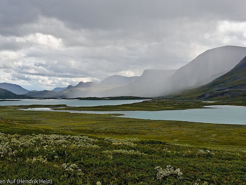
Kungsleden is a hiking trail in northern Sweden, approximately 467 kilometres long, between Abisko in the north and Hemavan in the south. The full distance breaks down into 419.3 km of trekking, 18.2 km of lake crossings and a 29.5 km stretch of road, almost all of which hikers cover by bus. It passes through, near the southern end, the Vindelfjällen Nature Reserve, one of the largest protected areas in Europe. In the winter Kungsleden is a ski trail with approximately the same route.
Download Download See moreWikipedia https://en.wikipedia.org/wiki/Kungsleden
More information at trekkingvisions.com http://www.trekkingvisions.com/content/view/35/30/
Address Sweden
Coordinates 68°21'31.38" N 18°46'0.666" E